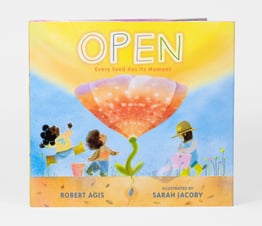
$18.99 Pre-Order Ships Mid-October
$18.99 Comes With Exclusive Mini Print
$18.99 Comes With An Exclusive Mini Print
$19.99 Comes With Exclusive Riso Print!
$28.00
$28.00 and up
$18.99 Pre-Order
$19.99
$19.99 Pre-Order
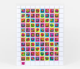
$5.00
$20.00 and up
$6.00
$4.00
$4.50
$7.00
$11.00
$13.00
$12.00
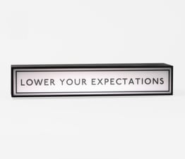
$30.00
$15.00
$8.00
$32.00
$33.00
$19.95
$18.99
$25.00 Pre-Order Ships Late June
$60.00 Pre-Order Ships Late June
$80.00 Pre-Order Ships Late June
$150.00 Pre-Order Ships Late June
$15.00 Pre-Order Ships Late June
$30.00 Pre-Order Ships Late June
$27.00
$5.50